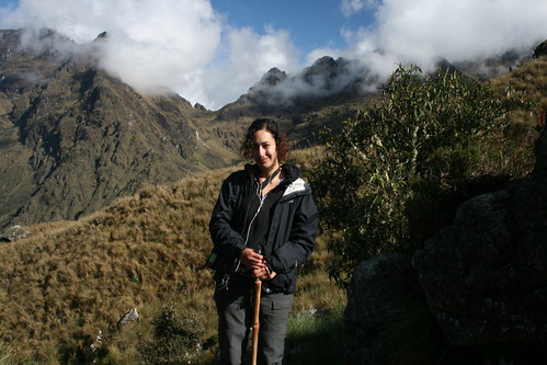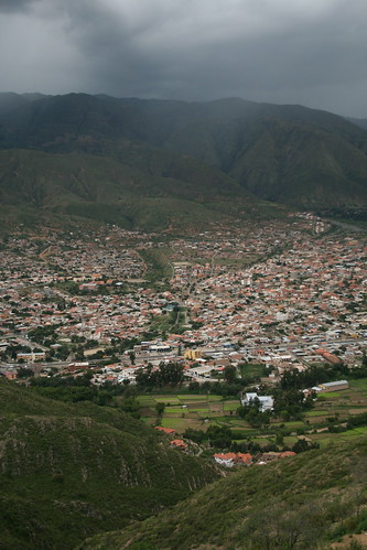
Arequipa is beautiful. It reminds me of a slightly grander version of Sucre with its white colonial buildings. UNESCO has declared it a world heritage site. A two-hour flight from Cusco to Peru's second city and the weather transforms dramatically from humid and rainy to hot and dry.
Arequipa, also known as the 'White City' as it was built from a light volcanic rock called sillar, stands in a valley at the foot of El Misti volcano, a snow-capped perfect cone at 5822 metres, which can be seen looming over the city on a clear day. The city is also a great base for exploring the Colca and Cotahuasi Canyons, the deepest in the world. Unfortunately I only have a full day here before I head out to Colca Canyon and it really isn't enough.
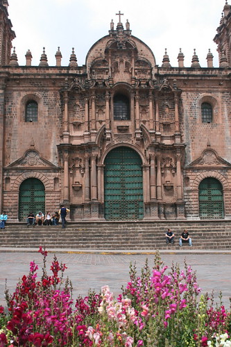
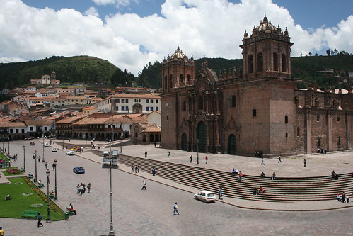
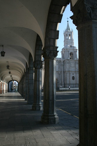
(Photo - Cathedral on the Plaza de Armas)